Which Three Oceans and Gulfs Touch America's Shores?
America's coastline stretches over 12,000 miles and meets three primary marine areas: the Pacific on the west, the Atlantic on the east, and the Gulf of Mexico on the southeast. The country also shares water boundaries via the Great Lakes along the Canadian border and the Arctic Ocean off northern Alaska.
By Robin Reed
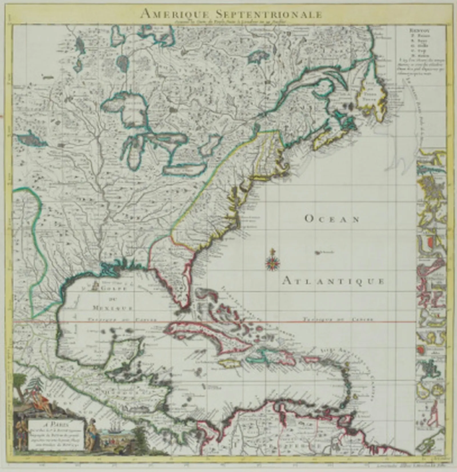
The East Coast of the United States is bordered by the Atlantic Ocean and the Gulf of Mexico.
The United States possesses a coastline extending beyond 12,000 miles. Along this coastline, three primary marine areas are encountered: the Pacific Ocean on the western side, the Atlantic Ocean on the eastern side, and the Gulf of Mexico on the southeastern side. Furthermore, a portion of the U.S.-Canada border passes through the Great Lakes, and the northern edge of Alaska meets the Arctic Ocean.
Pacific Ocean
Covering roughly one-third of the planet's surface, the Pacific Ocean ranks as the world's largest body of water. Its area exceeds that of all land on Earth put together. The Equator splits it into the North Pacific and South Pacific. The North Pacific runs along the western coast of the contiguous United States, touching California, Oregon, and Washington. Alaska's western shoreline also lies on the Pacific. Hawaii, a U.S. state, is made up of an island chain situated in the South Pacific.
Atlantic Ocean
As the world's second-largest ocean, the Atlantic Ocean has the United States' eastern seaboard on its western North Atlantic shore. Since Britain and Western Europe also face the Atlantic, the first colonization of the land that became the United States took place along the Atlantic coast. Examples include Florida, colonized by the Spanish in 1559; Virginia, established by the English in 1607; and New York, founded by the Dutch in 1609.
Gulf of Mexico
While technically a part of the Atlantic Ocean, the Gulf of Mexico is large enough to be typically treated as a distinct entity. It stretches about 800 miles from east to west and touches the U.S. states of Texas, Louisiana, Mississippi, Alabama, and Florida, along with Mexico and Cuba. The Mississippi River, America's largest river, flows into the Gulf of Mexico. The Gulf's warm waters frequently spawn tropical storms and hurricanes, which pose risks to coastal communities.
Other Bodies of Water
Beyond these three main marine areas, the United States has additional smaller water boundaries. The northern border of the United States partly follows the Great Lakes. These five lakes—Huron, Ontario, Michigan, Erie, and Superior—form the world's largest collection of freshwater lakes. They separate the American states of Minnesota, Wisconsin, Illinois, Indiana, Ohio, Pennsylvania, and New York from the Canadian province of Ontario. Additionally, the northern coast of Alaska is bordered by the Arctic Ocean, the smallest of the world's oceans, which is partly covered by ice year-round.